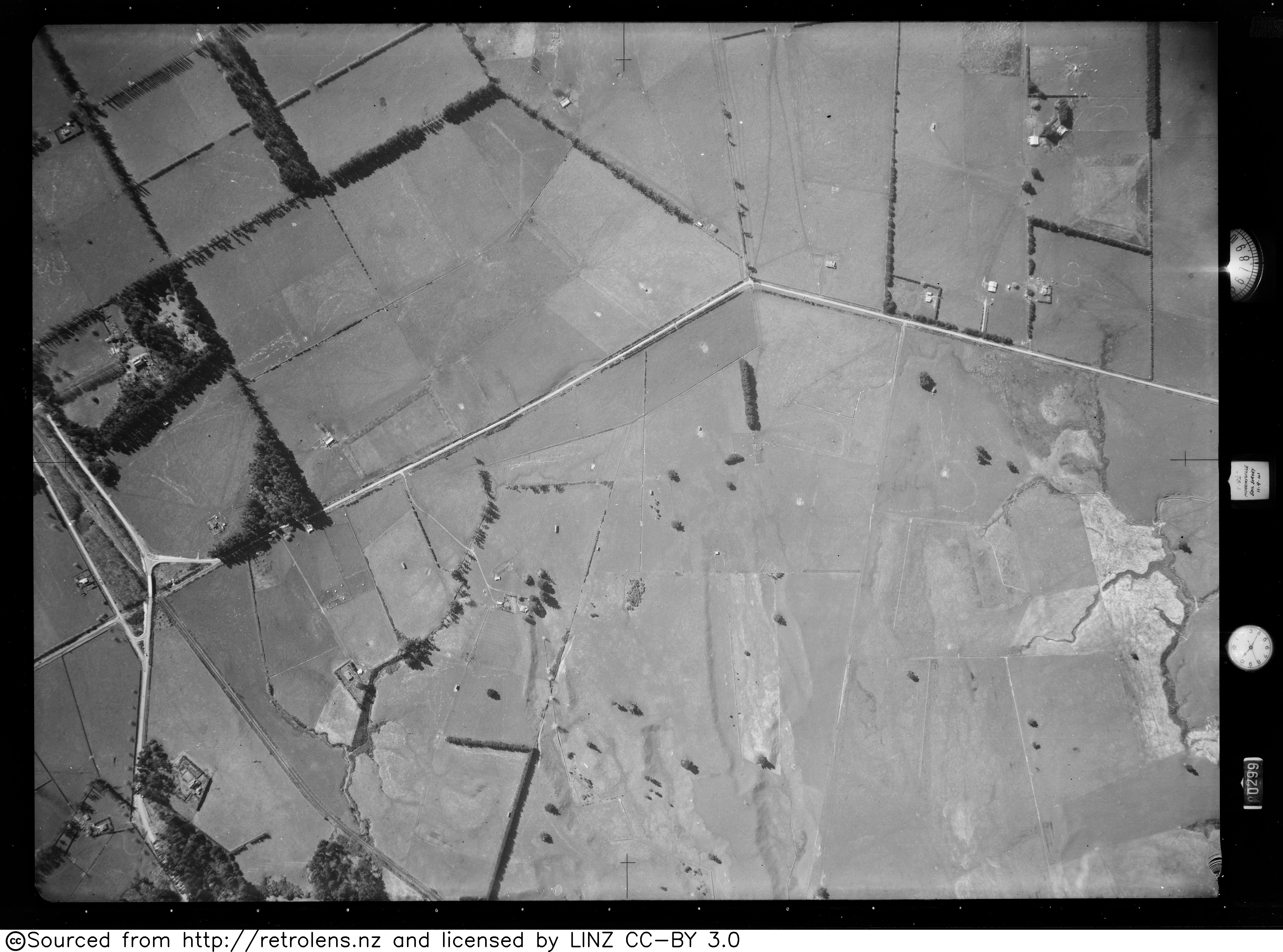
Piako was a flag station, at the junction of SH26 and Horrell Rd, on the former Thames Branch, 2.87 km (1.78 mi) east of Morrinsville and 4.03 km (2.50 mi) west of Tatuanui. The area was owned in succession by politicians: Work was continuing when the branch opened to Te Aroha. Murray's had a platform, then a shelter was added in 1887. In December 1912 it was renamed Piako, as had been expected when it opened. It closed to passengers on 22 November 1948. The station building was removed in December 1961 and the stock yards in 1968. The site became Murray Oaks Scenic Reserve in 1975.
| Attributes | Values |
|---|---|
| rdf:type | |
| rdfs:label |
|
| rdfs:comment |
|
| foaf:name |
|
| name |
|
| geo:lat |
|
| geo:long |
|
| dcterms:subject | |
| Wikipage page ID |
|
| Wikipage revision ID |
|
| Link from a Wikipage to another Wikipage |
|
| Link from a Wikipage to an external page | |
| sameAs | |
| dbp:wikiPageUsesTemplate | |
| address |
|
| Closed |
|
| country |
|
| Former |
|
| line | |
| opened |
|
| georss:point |
|
| has abstract |
|
| prov:wasDerivedFrom | |
| page length (characters) of wiki page |
|
| address |
|
| closing date | |
| closing year | |
| former name |
|
| opening date |
|
| opening year |
|
| serving railway line | |
| foaf:isPrimaryTopicOf | |
| geo:geometry |
|
| is Link from a Wikipage to another Wikipage of | |
| is next of | |
| is foaf:primaryTopic of |
Faceted Search & Find service v1.17_git139 as of Feb 29 2024


![[RDF Data]](/fct/images/sw-rdf-blue.png)

OpenLink Virtuoso version 08.03.3330 as of Mar 19 2024, on Linux (x86_64-generic-linux-glibc212), Single-Server Edition (61 GB total memory, 51 GB memory in use)
Data on this page belongs to its respective rights holders.
Virtuoso Faceted Browser Copyright © 2009-2024 OpenLink Software


![[RDF Data]](/fct/images/sw-rdf-blue.png)
OpenLink Virtuoso version 08.03.3330 as of Mar 19 2024, on Linux (x86_64-generic-linux-glibc212), Single-Server Edition (61 GB total memory, 51 GB memory in use)
Data on this page belongs to its respective rights holders.
Virtuoso Faceted Browser Copyright © 2009-2024 OpenLink Software


![[cxml]](/fct/images/cxml_doc.png)
![[csv]](/fct/images/csv_doc.png)
![[text]](/fct/images/ntriples_doc.png)
![[turtle]](/fct/images/n3turtle_doc.png)
![[ld+json]](/fct/images/jsonld_doc.png)
![[rdf+json]](/fct/images/json_doc.png)
![[rdf+xml]](/fct/images/xml_doc.png)
![[atom+xml]](/fct/images/atom_doc.png)
![[html]](/fct/images/html_doc.png)